How can technology make life easier on a quiet little island in the Caribbean? We’re mostly talking about beaches on this site, and that’s the lowest of low-tech, right? Taking wind, weather, and water into account, let’s find out the best ways to use tech to plan for a successful beach day.

Wind
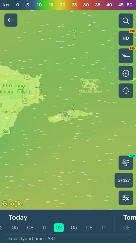
A typical day on almost any tropical island is affected by the wind speed, direction, and moisture content. The tradewinds bring cool breezes on hot days, and sometimes even dust from the Sahara desert in Africa.
They can also affect snorkeling, paddleboarding, surfing, etc., not to mention kite-flying. If the winds are hitting one side of the island, the other side is protected, and likely to be much more calm.
Our favorite wind app by far for mobile devices is appropriately called “Windy” and you can find it in the Apple App Store or in Google Play. Just go there and do a search for it.
It’s a great app, and one we use almost every single day.
Weather
- https://weather.com/ A very popular webpage, Weather.com can be useful, but not overly so. With the exception of hurricane season, the weather in the Caribbean is very steady and warm. There are fleeting rain-showers from time to time but they don’t last, and the rain is usually warm as well. We use it, but the heavy ad load is often not worth the time, and clickbait articles seem to be getting more common as well.
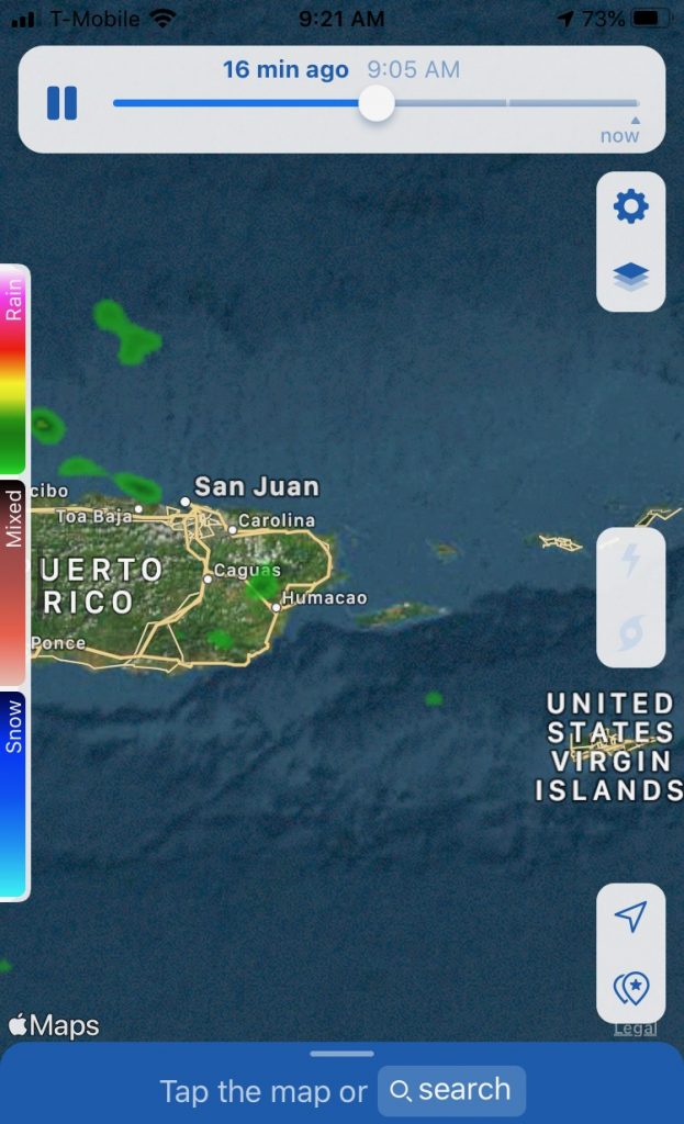
- https://www.wunderground.com/ Weather Underground is better, and we like the interactive maps, although it seems to be heading in a similar direction with lots of ads. On either of these sites, we usually just seek out the interactive weather radar maps to see where the clouds are coming from.

- As for mobile apps, the NOAA Weather app is very good, as is MyRadar and WeatherBug. Both Weather.com and Wunderground.com have their own mobile apps as well.
- https://www.facebook.com/groups/1412127935731959/ Our favorite weather page for Vieques is the Vieques Weather page on Facebook. Most of the updates here are during the summer & fall (hurricane season), but some fun and useful forecasts come in throughout the year.
- http://trackthetropics.com/saharan-air-layer-sal-tracking/ Sometimes we’ll get a haze in the air over the islands, which is caused by Saharan Air Layer (SAL). SAL is dry dusty air from Africa, and it makes for great sunsets, but sometimes affects peoples’ allergies. For those that are interested, it’s a good site.
Water
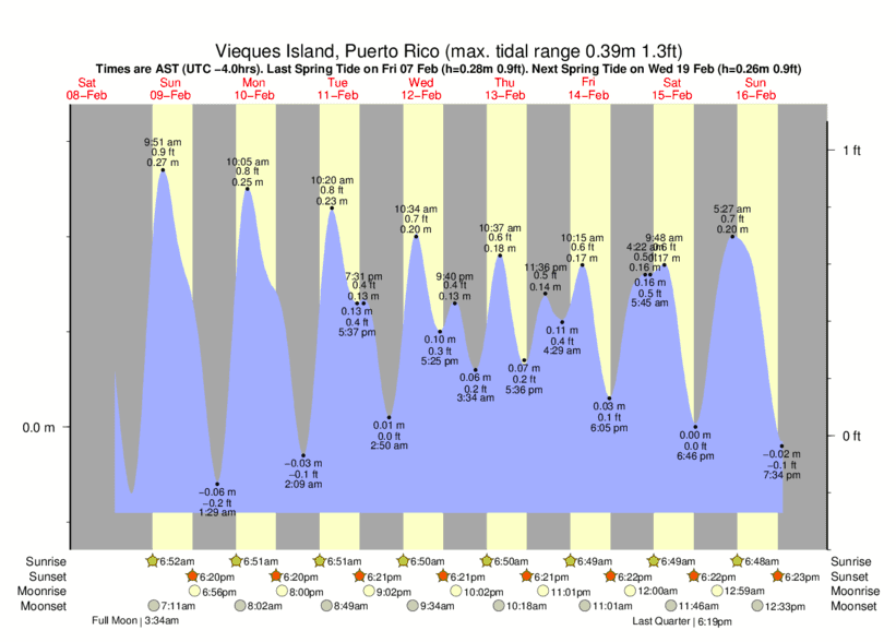
- https://www.tide-forecast.com/locations/Vieques-Island-Puerto-Rico/tides/latest This is a web page we use often, especially when going to some of the northside beaches that don’t have a lot of sand between the jungle and the water. If your “only worry in the world is the tide gonna reach my chair“, then this page is the one you want.

- http://www.weatherpr.com/ A good general weather page, Weather PR has especially good information on large waves and rip tide events in the area. It’s a good one to help protect your family.
Other good links
- www.puertoricoferry.com Although we typically recommend that tourists fly to Vieques, some successfully use the ferry system from mainland PR. This web page is useful to pre-order tickets and to see pricing for coolers and other baggage. This is also good for trips to Culebra.
- https://www.nhc.noaa.gov/ During hurricane season, most people like to watch Vieques from afar, although some will still venture to the islands, with a close watch on the National Hurricane Center’s (NHC) website.
- https://earthquake.usgs.gov/earthquakes/map/ There’s been lots of interest lately on earthquakes in recent weeks, since the SW part of the Puerto Rico main island has been hit hard. Lately, all of them have been small, pressure relieving quakes, so that’s good news. The U.S. Geological Survey’s web page is a good one.
- https://www.timeanddate.com/moon/phases/@4568575 Finally, moon phases are good to know, especially if you’re planning a bioluminescent bay trip in the evening. Trips do not run on full moon nights, nor the day before or day after.
